Google Earth Engine
A planetary-scale platform for earth science data and analysis.
With our vast experience in geospatial data and solutions and tenured success as a Google Premier Partner, Woolpert Digital Innovations helps clients maximize the use of Google Earth Engine.
Consulting
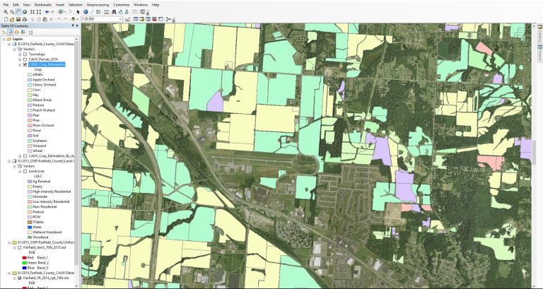
- Our experts can help you integrate Google Earth Engine into your existing workflows, including those incorporating Esri software. You can view the results of Google Earth Engine in ArcGIS Pro or use the results for further analysis.
- For customers wanting to use Google Earth Engine in-house, we can orient new users to Google Earth Engine’s functions and capabilities through workshops and virtual coaching.
- If you currently use a cloud vendor other than Google, but are interested in using Google Earth Engine, we can help you leverage both to meet your existing infrastructure plans while also opening up the potential of Google Earth Engine.
Professional Services
- We develop complete, cloud-based processing pipelines built around Google Earth Engine for customers looking to perform substantial, regular, and automated raster processing of any geographic or spectral size. With almost a decade of experience implementing Google Cloud solutions, our team uses Google Earth Engine expertise to provide end-to-end solutions.
- Our team can augment the efforts of your own scientists and analysts by writing functions that wrap or combine lower-level Google Earth Engine functionalities or accelerating algorithm development efforts as temporary team members.
- Data preparation and storage are key to using Google Earth Engine, and we can help with tasks including extract, transform and load (ETL), navigating user privileges in Google Cloud Platform and making key storage decisions specific to Google Earth Engine assets.
- As your premiere custom map innovators, we drive front-end app development.
Features
In addition to a familiar user interface, we can offer:

Easy methods for collaboration with colleagues
Distributed processing of user code without hands-on instruction

Options to compute large amounts of data
- Unlimited GeoTIFFs can be stored in cloud buckets for county, state and regional projects, then merged logically within Google Earth Engine for analysis.
- Raster functions within Google Earth Engine only initiate computation when needed. For example, only the viewable map area is calculated/rendered when using online Javascript IDE. This feature is useful for rapid prototyping prior to the export of final results.
PlanetWatchers
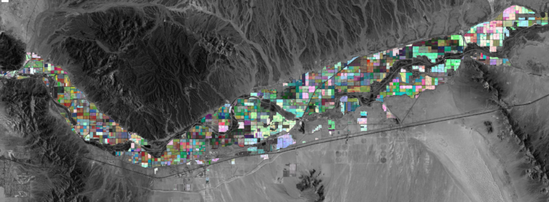
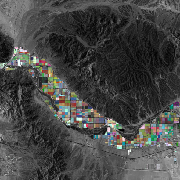
Google Earth Engine's scalable and cloudbased technology helps us build reliable outputs, cutting-edge solutions, and longterm partnerships with crop insurers in a reliable and interactive way.
Insights
Tap into our insights to gain a better understanding of our expertise, the changing landscape and how we can support your business.
Through the use of Google Earth Engine (GEE), PlanetWatchers improves...
As your trusted Google Cloud partner, Woolpert strives to understand...
Earth Engine was launched over a decade ago as a...
The geospatial tool uses satellite imagery to support local governments...
The geospatial partnership will support the infrastructure and planning needs...
Contact Us
Contact Us
"*" indicates required fields

