
Cassens Transport, a premier automotive logistics company, leverages Google Maps Platform and its familiar map interface.
Business Challenge
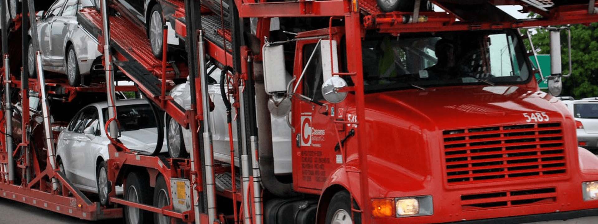
Hauling new cars since 1933, Cassens Transport, based in Edwardsville, IL, has long been a reputable provider of premier automotive logistics services. Cassens Transport saw the importance of integrating a mapping platform that could provide drivers with rich and accurate location data, all while maintaining a familiar user interface. The end goal was to develop top-tier and innovative solutions—not just a standard trucking application.
Benefits
- Easy-to-use APIs expedite development and bring new features to market quickly
- Familiar interface enables users to enjoy the mapping experience
- Optimizable routes save time and money
“This trucking company is pretty sophisticated, but any time we can do something more efficiently, we do it. That’s why we partner with Woolpert for Google Maps.”
- Paul Falbe, IT Director
Working With Woolpert
Rapidly increasing usage volume prompted Cassens Transport to switch to Woolpert Digital Innovations as its Google partner. The move enabled Cassens Transport to take advantage of Woolpert Digital Innovations’ volume price discounts. “Woolpert Digital Innovations helped us when our bill was higher; they got it to a better classification and the cost went way down, and that’s awesome,” stated Cassens Transport IT Director, Paul Falbe.
Woolpert Digital Innovations also offers one-on-one customer support. “It’s been great! Like any other IT Director, sometimes I forget my resources I should reach out to and what not. I send them questions and they gently direct me to the right person, and that’s all I can ask,” Falbe further explained.
The Solution
Cassens Transport developed an app that enables drivers to view loads needing transport as well as dealership locations. For Cassens Transport, Google Maps Platform had a huge advantage over other options due to its familiar map interface and data-packed APIs. Once the Cassens Transport software is installed in a logistics system, important information is communicated to the platform and presented through Google Maps APIs.
Using the Geocoding API, dispatchers can pinpoint the exact location (with precise coordinates) of their trucks on a map. Additionally, the Time Zone API timestamps the software in every region, providing clarity for drivers who travel through multiple time zones.
This insightful data is combined and displayed on Google’s dynamic map along with custom markers pairing each location with its respective recording time. Using GMP APIs, dispatchers can apply heat map layers and custom geofences to uncover patterns that support dispatching from any location.